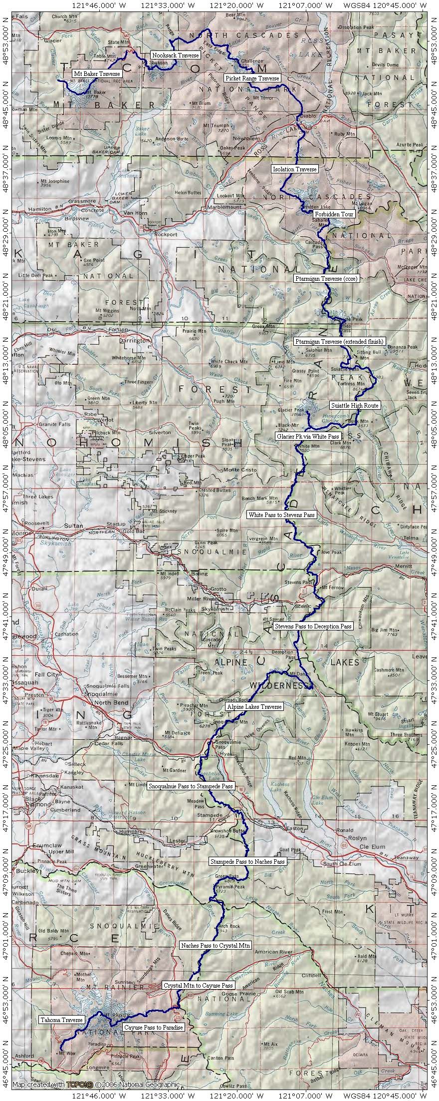
-
Routes shown on this map: 362 miles, 135,000 feet of ascent.
-
Actual effort (including approach/exit for each segment):
500 miles, 174,000 feet of ascent, 42 days.
-
Each segment of the overall route was done in the direction
that was most efficient for that segment.
-
Routes were profiled using National Geographic TOPO! with a
mileage correction factor of +13%.
-
For detailed route statistics,
click here.
|